


Hiking in the Prefecture of Heraklion -
Between gorges, plateaus and unspoilt landscapes
Guided GPS routes, practical orientation and personal tips for independent hikers
Many hikes in the prefecture of Heraklion pass through undeveloped areas and are not always clearly marked. Orientation is particularly important away from the well-known sights. Our tour suggestions will help you to walk the trails safely and well prepared – without unnecessary detours or uncertainties.
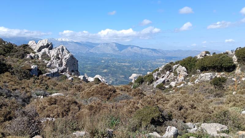
The prefecture of Heraklion reveals a side of Crete that is often unknown. In addition to fertile valleys and vast plateaus, you will find impressive gorges, remote villages and peaceful landscapes far away from the hustle and bustle. Many hiking trails lead through regions that are largely untouched by mass tourism.
Overview of all hikes in Heraklion:
The map shows their location in the prefecture.


Our tour packages help you explore the diverse hiking landscapes of Heraklion Prefecture safely and relaxed:
- with a map of how to get there
- tested waypoints
- interactive hiking maps
- practical tips for orientation
- route guidance
- highlights of the surrounding area
This allows you to concentrate on gorges, viewpoints and special sections of the trail.
Select your individual package for the Prefecture of Heraklion.
All individual tours at a glance!

Length: approx. 3-4 km
Level: easy to moderate
A relaxed hike through the Agiofaraggo Gorge along a path dotted with caves, leading to a stunning beach. Optionally, you can add a short climb to a viewpoint overlooking a sinkhole and the crystal-clear sea.
Length: approx. 8.5 km
Level: medium
A scenic summit hike from Archanes to the legendary Mount Juchtas. The route climbs steadily through vineyards and along narrow paths to two peaks with a Minoan sanctuary, the Church of Afentis Christos and fantastic views of Heraklion, before descending back to the village.

Length: approx. 6 km
Level: easy
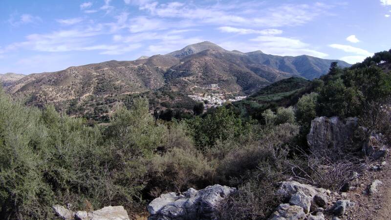
An easy descent from the mountain village of Mochos down to Malia on a historic, partly paved donkey path with fantastic views of the north coast. The hike is also possible without a hire car and can be extended to a large circular tour with the Mochos - Stalis route.

Length: approx. 5km
Level: easy
An easy descent from the mountain village of Mochos to Stalis along an old donkey path with fantastic views of the north coast, Dia Island and the coastal villages east of Heraklion. The hike is also possible without a hire car and can be combined with the Mochos - Malia route to form a large circular tour.
Length: approx. 7 km
Level: easy
An easy hike rich in culture and nature around Fodele, the birthplace of El Greco, past the museum and Byzantine church, through orange groves, vineyards, olive trees and a small wooded area with a stream.
Length: approx. 5.5 km
Level: easy
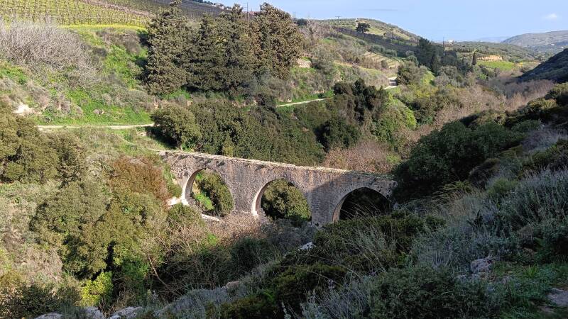
A varied hike through the Knossos Gorge in the hinterland of Heraklion, which leads along small paths and gravel tracks through a green oasis, passing vineyards, olive groves, two aqueducts and a small church.

Length: approx. 6 km
Level: easy
A scenic circular walk from Miamou along gravel roads up to the wind turbines with views of the Libyan Sea, then back to the village through olive groves and typical Cretan countryside. This walk can be easily combined with a detour to Lentas and a dip in the sea.

Length: approx. 7 km
Level: medium
Adventurous hike through the Astrakiano Gorge in the hinterland of Heraklion, past an old mill and the fairy cave, on partly hidden paths through wonderfully wild nature.
Hiking in the Prefecture of Heraklion – well prepared for the journey
Good to know for hiking in the Heraklion Prefecture:
- After rainfall, rocks and paths in gorges may have changed.
- Sun protection and sufficient water are important even on short tours.
- Mobile phone reception is not reliable everywhere.
- Sturdy shoes are advisable even on ‘easy’ tours.
The prefecture of Heraklion offers a variety of landscapes – from vast plateaus to quiet valleys and impressive gorges. Many paths run off the beaten track and are not always clearly marked or can change due to weather and use. Our tours in this region are based on our own inspections, current route maps and practical experience on site.
For each hike, you will find detailed information on trail conditions, orientation, duration and special features of the region. This allows you to realistically assess whether the tour suits your expectations, your ability and your available time.